West Howe: across Tedder Close and down footpath U23
Introduction
The photograph on this page of West Howe: across Tedder Close and down footpath U23 by Chris Downer as part of the Geograph project.
The Geograph project started in 2005 with the aim of publishing, organising and preserving representative images for every square kilometre of Great Britain, Ireland and the Isle of Man.

There are currently over 7.5m images from over 14,400 individuals and you can help contribute to the project by visiting https://www.geograph.org.uk
West Howe: across Tedder Close and down footpath U23
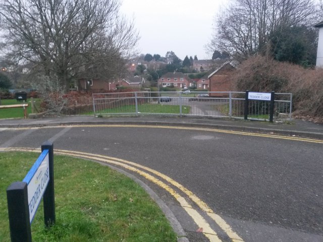
Image: © Chris Downer Taken: 9 Feb 2017
Looking across the junction of Tedder Close (onto Tedder Road) and beyond, down a short public footpath to Moorside Close. The mapped route of the public footpath begins at the steps just to the right of the road sign, although a step-free route is also available from the left. See Image for a closer view of the path, with links to photos showing the uphill view.
Images are licensed for reuse under creativecommons.org/licenses/by-sa/2.0
Image Location
Latitude
50.758155
Longitude
-1.903827