Strouden: footpath K16 approaches footpath K09
Introduction
The photograph on this page of Strouden: footpath K16 approaches footpath K09 by Chris Downer as part of the Geograph project.
The Geograph project started in 2005 with the aim of publishing, organising and preserving representative images for every square kilometre of Great Britain, Ireland and the Isle of Man.

There are currently over 7.5m images from over 14,400 individuals and you can help contribute to the project by visiting https://www.geograph.org.uk
Strouden: footpath K16 approaches footpath K09
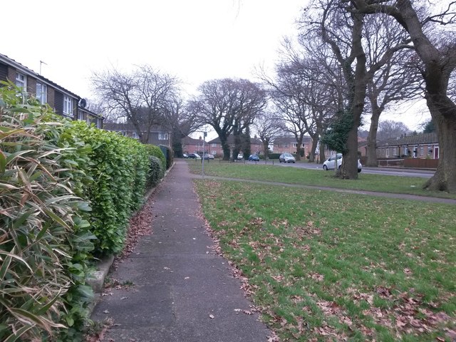
Image: © Chris Downer Taken: 11 Feb 2017
Looking along this stretch of public footpath, which has come indirectly (via path K17) from East Way behind us and approaches another route, path K09, which runs parallel with Mallard Road both ahead and disappearing off to the right. See Image for the view towards us from the path junction ahead, and Image for the view towards us from behind - each has links to photos on all mentioned routes.
Images are licensed for reuse under creativecommons.org/licenses/by-sa/2.0
Image Location


Leaflet Map data © OpenStreetMap
Latitude
50.749556
Longitude
-1.849981