Tuckingmill or Pennyhooks Brook
Introduction
The photograph on this page of Tuckingmill or Pennyhooks Brook by Des Blenkinsopp as part of the Geograph project.
The Geograph project started in 2005 with the aim of publishing, organising and preserving representative images for every square kilometre of Great Britain, Ireland and the Isle of Man.

There are currently over 7.5m images from over 14,400 individuals and you can help contribute to the project by visiting https://www.geograph.org.uk
Tuckingmill or Pennyhooks Brook
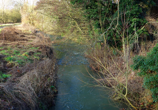
Image: © Des Blenkinsopp Taken: 7 Feb 2017
Clearly named Tuckingmill Brook in this square, by the time we get to SU2390 about 1km downstream it seems to be called Pennyhooks Brook. Shortly after that it becomes the River Cole, which it remains until joining the Thames at Inglesham.
Images are licensed for reuse under creativecommons.org/licenses/by-sa/2.0
Image Location
Latitude
51.605334
Longitude
-1.646185