Woodland Boundary
Introduction
The photograph on this page of Woodland Boundary by Alan Hughes as part of the Geograph project.
The Geograph project started in 2005 with the aim of publishing, organising and preserving representative images for every square kilometre of Great Britain, Ireland and the Isle of Man.

There are currently over 7.5m images from over 14,400 individuals and you can help contribute to the project by visiting https://www.geograph.org.uk
Woodland Boundary
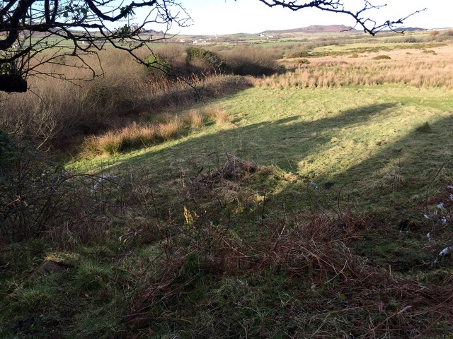
Image: © Alan Hughes Taken: 8 Feb 2017
Boundary between woodland and rough pasture near Ginon. In the distance Llandruidion is visible about a mile away.
Images are licensed for reuse under creativecommons.org/licenses/by-sa/2.0
Image Location
Latitude
51.992319
Longitude
-5.058224