Whetstone High Road
Introduction
The photograph on this page of Whetstone High Road by Stephen McKay as part of the Geograph project.
The Geograph project started in 2005 with the aim of publishing, organising and preserving representative images for every square kilometre of Great Britain, Ireland and the Isle of Man.

There are currently over 7.5m images from over 14,400 individuals and you can help contribute to the project by visiting https://www.geograph.org.uk
Whetstone High Road
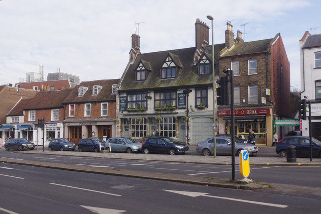
Image: © Stephen McKay Taken: 6 Feb 2017
The pub in this picture is the Griffin, which dates from 1928 although there has been an inn on this site in the centre of Whetstone for much longer.
Images are licensed for reuse under creativecommons.org/licenses/by-sa/2.0
Image Location
Latitude
51.630074
Longitude
-0.174607