Field near Warkleigh
Introduction
The photograph on this page of Field near Warkleigh by Derek Harper as part of the Geograph project.
The Geograph project started in 2005 with the aim of publishing, organising and preserving representative images for every square kilometre of Great Britain, Ireland and the Isle of Man.

There are currently over 7.5m images from over 14,400 individuals and you can help contribute to the project by visiting https://www.geograph.org.uk
Field near Warkleigh
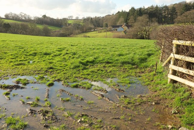
Image: © Derek Harper Taken: 8 Feb 2017
From the lane from Satterleigh, a view up that valley that the eastern part of the village occupies. On the right, on this side of Warkleigh Cottage, is The Nook https://www.historicengland.org.uk/listing/the-list/list-entry/1273371 .
Images are licensed for reuse under creativecommons.org/licenses/by-sa/2.0
Image Location
Latitude
50.98799
Longitude
-3.914832