Bridestowe: village street
Introduction
The photograph on this page of Bridestowe: village street by Martin Bodman as part of the Geograph project.
The Geograph project started in 2005 with the aim of publishing, organising and preserving representative images for every square kilometre of Great Britain, Ireland and the Isle of Man.

There are currently over 7.5m images from over 14,400 individuals and you can help contribute to the project by visiting https://www.geograph.org.uk
Bridestowe: village street
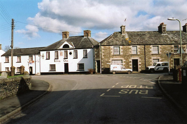
Image: © Martin Bodman Taken: 20 Feb 2005
The Royal Oak is no longer a public house, it seems. The facade carries a sundial with an 18th century date
Images are licensed for reuse under creativecommons.org/licenses/by-sa/2.0
Image Location


Leaflet Map data © OpenStreetMap
Latitude
50.684328
Longitude
-4.10488