Building site, Power Station Road
Introduction
The photograph on this page of Building site, Power Station Road by John Baker as part of the Geograph project.
The Geograph project started in 2005 with the aim of publishing, organising and preserving representative images for every square kilometre of Great Britain, Ireland and the Isle of Man.

There are currently over 7.5m images from over 14,400 individuals and you can help contribute to the project by visiting https://www.geograph.org.uk
Building site, Power Station Road
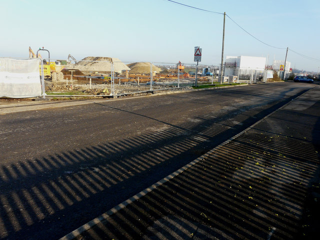
Image: © John Baker Taken: 17 Jan 2017
Planning permission has been granted by Swale Borough Council under application number 15/508025/REM as the “approval of reserved matters for residential redevelopment of 142 dwellings together with access roads, footpaths, drainage, associated car/bicycle parking provision, groundwork's, landscaping, open space and infrastructure (all matters being sought except access)”. The location is the former Image site.
Images are licensed for reuse under creativecommons.org/licenses/by-sa/2.0
Image Location
Latitude
51.426623
Longitude
0.779531