Road junction in the parish of Braishfield, Hampshire
Introduction
The photograph on this page of Road junction in the parish of Braishfield, Hampshire by Robin Webster as part of the Geograph project.
The Geograph project started in 2005 with the aim of publishing, organising and preserving representative images for every square kilometre of Great Britain, Ireland and the Isle of Man.

There are currently over 7.5m images from over 14,400 individuals and you can help contribute to the project by visiting https://www.geograph.org.uk
Road junction in the parish of Braishfield, Hampshire
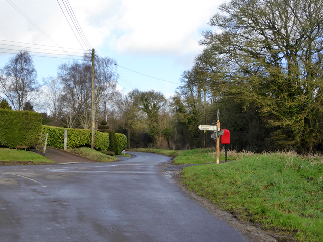
Image: © Robin Webster Taken: 7 Feb 2017
The ring at the top of the signpost gives this locational information, a standard feature of these old cast-iron posts in Hampshire. Michelmersh and Timsbury left, Kings Somborne and Farley Chamberlayne ahead, Romsey and Braishfield (presumably the centre) behind the camera.
Images are licensed for reuse under creativecommons.org/licenses/by-sa/2.0
Image Location


Leaflet Map data © OpenStreetMap
Latitude
51.026538
Longitude
-1.479213