St John's Brook reappears from under the road, Wedgnock, north Warwick
Introduction
The photograph on this page of St John's Brook reappears from under the road, Wedgnock, north Warwick by Robin Stott as part of the Geograph project.
The Geograph project started in 2005 with the aim of publishing, organising and preserving representative images for every square kilometre of Great Britain, Ireland and the Isle of Man.

There are currently over 7.5m images from over 14,400 individuals and you can help contribute to the project by visiting https://www.geograph.org.uk
St John's Brook reappears from under the road, Wedgnock, north Warwick
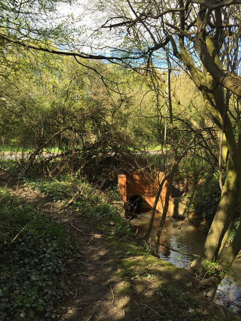
Image: © Robin Stott Taken: 17 Apr 2016
Rising about 2km north of here, St John's Brook then plays hide and seek as it runs southeast through the town, joining the River Avon above Castle Bridge. It has just passed under the A46 Warwick bypass (on an embankment among trees in the background) then under this distributor road which may be Primrose Hill or may be Wedgnock Lane: it isn't clear from mapping or Streetview where the change occurs. More interestingly, a very informal footpath follows the brook south, bounded by the Wedgnock industrial estate, before emerging on the towpath of the Grand Union Canal at Cape top lock: Image
Images are licensed for reuse under creativecommons.org/licenses/by-sa/2.0
Image Location
Latitude
52.295762
Longitude
-1.59731