Bridge over Knoll Beck
Introduction
The photograph on this page of Bridge over Knoll Beck by Christine Johnstone as part of the Geograph project.
The Geograph project started in 2005 with the aim of publishing, organising and preserving representative images for every square kilometre of Great Britain, Ireland and the Isle of Man.

There are currently over 7.5m images from over 14,400 individuals and you can help contribute to the project by visiting https://www.geograph.org.uk
Bridge over Knoll Beck
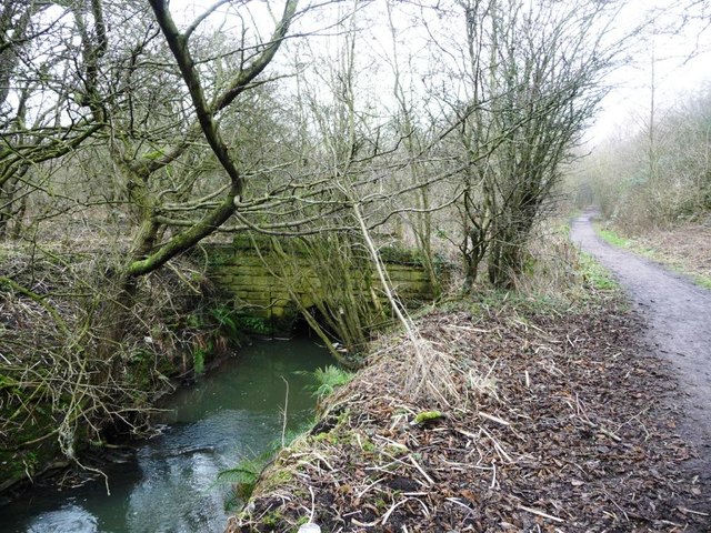
Image: © Christine Johnstone Taken: 5 Feb 2017
Built between 1850 and 1900, when this part of the stream was straightened. In the middle of the former railway junction between the Elsecar and Lund Hill colliery branches.
Images are licensed for reuse under creativecommons.org/licenses/by-sa/2.0
Image Location
Latitude
53.510238
Longitude
-1.388213