Farm road near Willeymoor Lock, Cheshire
Introduction
The photograph on this page of Farm road near Willeymoor Lock, Cheshire by Roger D Kidd as part of the Geograph project.
The Geograph project started in 2005 with the aim of publishing, organising and preserving representative images for every square kilometre of Great Britain, Ireland and the Isle of Man.

There are currently over 7.5m images from over 14,400 individuals and you can help contribute to the project by visiting https://www.geograph.org.uk
Farm road near Willeymoor Lock, Cheshire
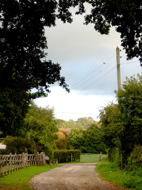
Image: © Roger D Kidd Taken: 22 Sep 2015
A public footpath continues from this road across fields to the canal (and public house). Evening light is fading rapidly but still shines on the far hill.
Images are licensed for reuse under creativecommons.org/licenses/by-sa/2.0
Image Location
Latitude
53.00133
Longitude
-2.700899