Pasture east of Bell o' th' Hill, Cheshire
Introduction
The photograph on this page of Pasture east of Bell o' th' Hill, Cheshire by Roger D Kidd as part of the Geograph project.
The Geograph project started in 2005 with the aim of publishing, organising and preserving representative images for every square kilometre of Great Britain, Ireland and the Isle of Man.

There are currently over 7.5m images from over 14,400 individuals and you can help contribute to the project by visiting https://www.geograph.org.uk
Pasture east of Bell o' th' Hill, Cheshire
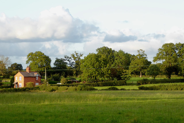
Image: © Roger D Kidd Taken: 22 Sep 2015
This is a telephoto assisted image taken in evening sunlight looking north-east from Cook's Lane. Moorhead Cottage is about five hundred metres distant. The house is Wren Cottage, by Willeymoor Lane.
Images are licensed for reuse under creativecommons.org/licenses/by-sa/2.0
Image Location
Latitude
53.003569
Longitude
-2.702277