East side of Gresty Road Evangelical Church, Crewe
Introduction
The photograph on this page of East side of Gresty Road Evangelical Church, Crewe by Jaggery as part of the Geograph project.
The Geograph project started in 2005 with the aim of publishing, organising and preserving representative images for every square kilometre of Great Britain, Ireland and the Isle of Man.

There are currently over 7.5m images from over 14,400 individuals and you can help contribute to the project by visiting https://www.geograph.org.uk
East side of Gresty Road Evangelical Church, Crewe
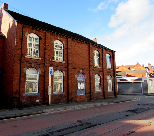
Image: © Jaggery Taken: 4 Feb 2017
A bus stop is alongside Gresty Road Evangelical Church (The Railway Mission) on the corner of Hewitt Street.
Images are licensed for reuse under creativecommons.org/licenses/by-sa/2.0
Image Location
Latitude
53.088441
Longitude
-2.43669