St Martins House prior to Demolition
Introduction
The photograph on this page of St Martins House prior to Demolition by John S Turner as part of the Geograph project.
The Geograph project started in 2005 with the aim of publishing, organising and preserving representative images for every square kilometre of Great Britain, Ireland and the Isle of Man.

There are currently over 7.5m images from over 14,400 individuals and you can help contribute to the project by visiting https://www.geograph.org.uk
St Martins House prior to Demolition
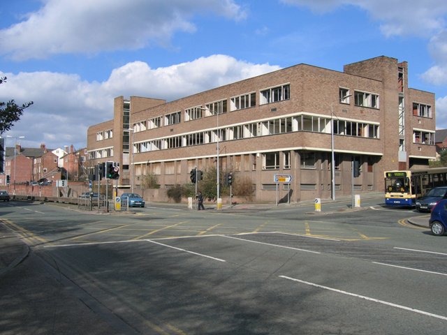
Image: © John S Turner Taken: 14 Mar 2007
Situated on the corner of St Martins Way and Princess Street this office block has stood empty and derelict for probably fifteen years. At last it is being demolished as part of the Northgate Development project. See also Image
Images are licensed for reuse under creativecommons.org/licenses/by-sa/2.0
Image Location
Latitude
53.191496
Longitude
-2.895577