'Rose Cottage' at the bend in Farm Lane
Introduction
The photograph on this page of 'Rose Cottage' at the bend in Farm Lane by Roger Templeman as part of the Geograph project.
The Geograph project started in 2005 with the aim of publishing, organising and preserving representative images for every square kilometre of Great Britain, Ireland and the Isle of Man.

There are currently over 7.5m images from over 14,400 individuals and you can help contribute to the project by visiting https://www.geograph.org.uk
'Rose Cottage' at the bend in Farm Lane
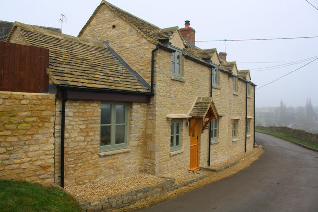
Image: © Roger Templeman Taken: 25 Jan 2017
There is an OS benchmark Image on the road face of a bottom stone quoin at the near corner of the main section of the cottage
Images are licensed for reuse under creativecommons.org/licenses/by-sa/2.0
Image Location


Leaflet Map data © OpenStreetMap
Latitude
51.805801
Longitude
-1.510606