Western end of Sycamore Avenue, Newport
Introduction
The photograph on this page of Western end of Sycamore Avenue, Newport by Jaggery as part of the Geograph project.
The Geograph project started in 2005 with the aim of publishing, organising and preserving representative images for every square kilometre of Great Britain, Ireland and the Isle of Man.

There are currently over 7.5m images from over 14,400 individuals and you can help contribute to the project by visiting https://www.geograph.org.uk
Western end of Sycamore Avenue, Newport
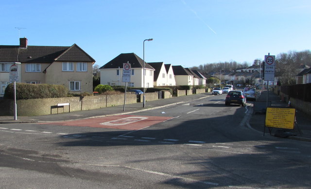
Image: © Jaggery Taken: 16 Feb 2016
Looking east along Sycamore Avenue from Somerton Road on February 16th 2016. A temporary yellow sign on the right tells pedestrians unable to use the nearby stepped temporary footbridge over the railway to wait here for a low floor bus, scheduled to arrive every 10 minutes. The bus will follow the road diversion (caused by the closure of the Somerton Road railway bridge). The journey will take about 20 minutes.
Images are licensed for reuse under creativecommons.org/licenses/by-sa/2.0
Image Location
Latitude
51.585919
Longitude
-2.961798