Cullompton : St Andrew's Estate Bungalow
Introduction
The photograph on this page of Cullompton : St Andrew's Estate Bungalow by Lewis Clarke as part of the Geograph project.
The Geograph project started in 2005 with the aim of publishing, organising and preserving representative images for every square kilometre of Great Britain, Ireland and the Isle of Man.

There are currently over 7.5m images from over 14,400 individuals and you can help contribute to the project by visiting https://www.geograph.org.uk
Cullompton : St Andrew's Estate Bungalow
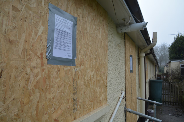
Image: © Lewis Clarke Taken: 24 Jan 2017
A property in Cullompton has been closed after a loft fire was sparked by the tenant growing cannabis - and investigators say the blaze could have killed a family. Mid Devon District Council has obtained a Closure Order following the fire on St Andrews Estate. Read more at http://www.exeterexpressandecho.co.uk/council-take-action-after-loft-fire-reveals-large-scale-cannabis-cultivation-in-cullompton/story-30082269-detail/story.html#1R71ltezzPKx80qM.99
Images are licensed for reuse under creativecommons.org/licenses/by-sa/2.0
Image Location
Latitude
50.859219
Longitude
-3.393763