Western End of Lewesdon Hill Lane
Introduction
The photograph on this page of Western End of Lewesdon Hill Lane by Chris Heaton as part of the Geograph project.
The Geograph project started in 2005 with the aim of publishing, organising and preserving representative images for every square kilometre of Great Britain, Ireland and the Isle of Man.

There are currently over 7.5m images from over 14,400 individuals and you can help contribute to the project by visiting https://www.geograph.org.uk
Western End of Lewesdon Hill Lane
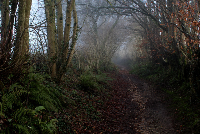
Image: © Chris Heaton Taken: 24 Jan 2017
This track heads east from the B3164, and is adopted by the Wessex Ridgeway.
Images are licensed for reuse under creativecommons.org/licenses/by-sa/2.0
Image Location
Latitude
50.812158
Longitude
-2.818069