Green, Michaelstow
Introduction
The photograph on this page of Green, Michaelstow by Derek Harper as part of the Geograph project.
The Geograph project started in 2005 with the aim of publishing, organising and preserving representative images for every square kilometre of Great Britain, Ireland and the Isle of Man.

There are currently over 7.5m images from over 14,400 individuals and you can help contribute to the project by visiting https://www.geograph.org.uk
Green, Michaelstow
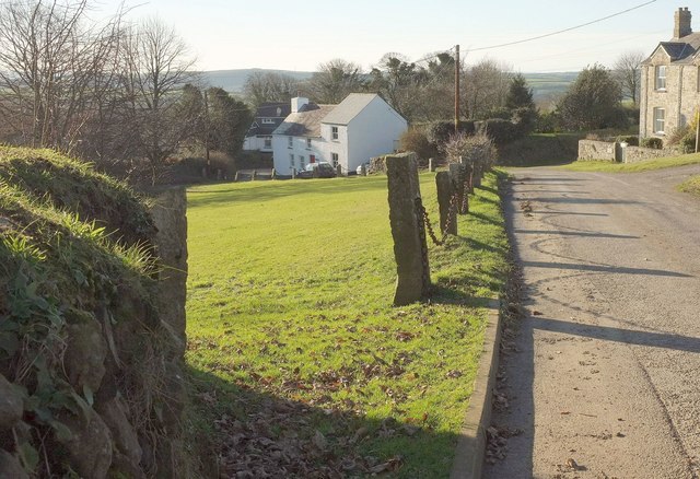
Image: © Derek Harper Taken: 25 Jan 2017
A similar view to Image, with granite pillars and chains dissuading vehicles from accessing the green. On the immediate left of the camera is a corner of the churchyard wall, something of a Cornish hedge.
Images are licensed for reuse under creativecommons.org/licenses/by-sa/2.0
Image Location
Latitude
50.578215
Longitude
-4.712627