Rainham Creek above the Lamson Road bridge
Introduction
The photograph on this page of Rainham Creek above the Lamson Road bridge by Robin Webster as part of the Geograph project.
The Geograph project started in 2005 with the aim of publishing, organising and preserving representative images for every square kilometre of Great Britain, Ireland and the Isle of Man.

There are currently over 7.5m images from over 14,400 individuals and you can help contribute to the project by visiting https://www.geograph.org.uk
Rainham Creek above the Lamson Road bridge
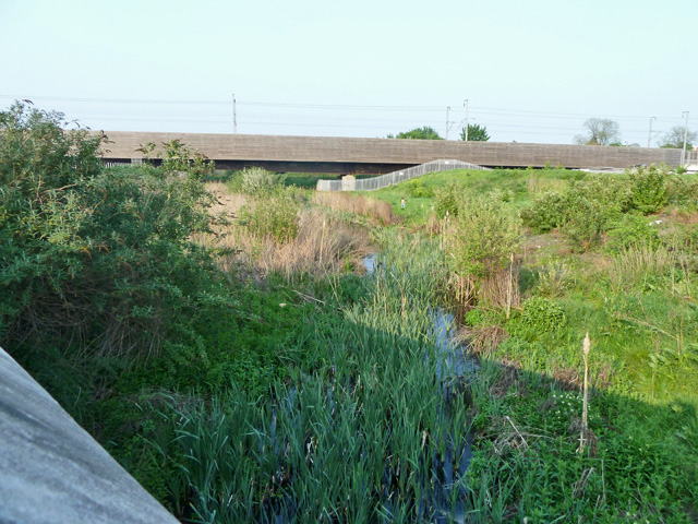
Image: © Robin Webster Taken: 24 Apr 2011
No longer a navigable tidal creek up to Rainham, it now has its natural mouth to the Thames built over and its outfall controlled by sluices. Most of the flow under usual conditions enters below this point from a sewage works.
Images are licensed for reuse under creativecommons.org/licenses/by-sa/2.0
Image Location
Latitude
51.517697
Longitude
0.186572