Alongside the railway [1]
Introduction
The photograph on this page of Alongside the railway [1] by Michael Dibb as part of the Geograph project.
The Geograph project started in 2005 with the aim of publishing, organising and preserving representative images for every square kilometre of Great Britain, Ireland and the Isle of Man.

There are currently over 7.5m images from over 14,400 individuals and you can help contribute to the project by visiting https://www.geograph.org.uk
Alongside the railway [1]
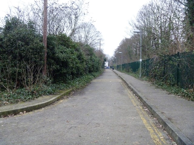
Image: © Michael Dibb Taken: 26 Jan 2017
Occupation Lane runs, alongside the railway, from Mortlake Road to the River Thames. There is vehicular and pedestrian access to the National Archives. This view is looking towards Mortlake Road.
Images are licensed for reuse under creativecommons.org/licenses/by-sa/2.0
Image Location
Latitude
51.48081
Longitude
-0.282393