Pennington Flash
Introduction
The photograph on this page of Pennington Flash by Keith Williamson as part of the Geograph project.
The Geograph project started in 2005 with the aim of publishing, organising and preserving representative images for every square kilometre of Great Britain, Ireland and the Isle of Man.

There are currently over 7.5m images from over 14,400 individuals and you can help contribute to the project by visiting https://www.geograph.org.uk
Pennington Flash
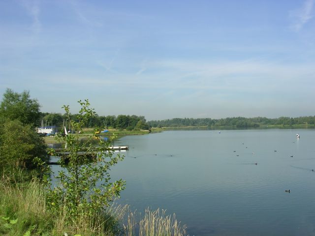
Image: © Keith Williamson Taken: 12 Sep 2005
Looking roughly northwest across Pennington Flash near Leigh. A flash is a type of lake created through mining subsidence. SJ63429875
Images are licensed for reuse under creativecommons.org/licenses/by-sa/2.0
Image Location
Latitude
53.484187
Longitude
-2.552714