Descending track
Introduction
The photograph on this page of Descending track by Jonathan Wilkins as part of the Geograph project.
The Geograph project started in 2005 with the aim of publishing, organising and preserving representative images for every square kilometre of Great Britain, Ireland and the Isle of Man.

There are currently over 7.5m images from over 14,400 individuals and you can help contribute to the project by visiting https://www.geograph.org.uk
Descending track
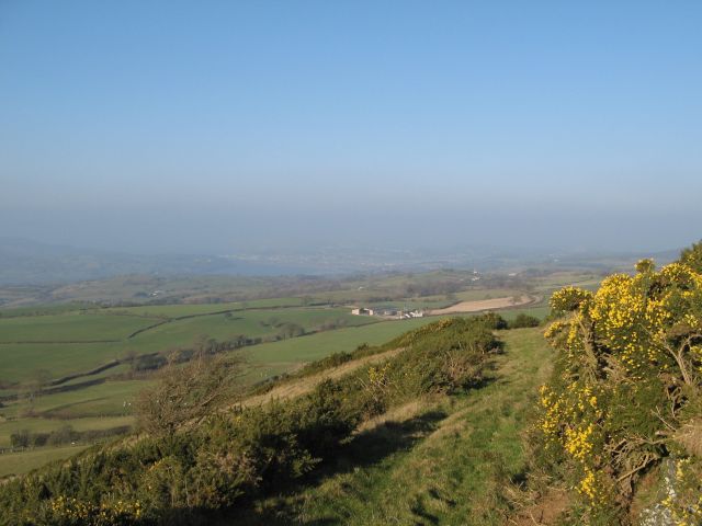
Image: © Jonathan Wilkins Taken: 26 Jan 2017
The track to the summit of Moel Gyffylog takes a gentle course around the hill. The amount of gorse in bloom was a surprise as was the somewhat misty atmosphere, notwithstanding a very strong south-easterly wind and temperatures at freezing point. The view from this elevated location would be superb with better conditions. This is private land with no right of way, so I am grateful for permission to visit.
Images are licensed for reuse under creativecommons.org/licenses/by-sa/2.0
Image Location
Latitude
53.223559
Longitude
-3.766978