Checking out the flood defences
Introduction
The photograph on this page of Checking out the flood defences by Jonathan Thacker as part of the Geograph project.
The Geograph project started in 2005 with the aim of publishing, organising and preserving representative images for every square kilometre of Great Britain, Ireland and the Isle of Man.

There are currently over 7.5m images from over 14,400 individuals and you can help contribute to the project by visiting https://www.geograph.org.uk
Checking out the flood defences
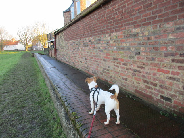
Image: © Jonathan Thacker Taken: 25 Jan 2017
Much of Airmyn lies below the high water level of the River Aire and flood defences rise to upper floor level of most of the houses in the village.
Images are licensed for reuse under creativecommons.org/licenses/by-sa/2.0
Image Location
Latitude
53.716327
Longitude
-0.906094