Ashton Canal at Ancoats
Introduction
The photograph on this page of Ashton Canal at Ancoats by David Dixon as part of the Geograph project.
The Geograph project started in 2005 with the aim of publishing, organising and preserving representative images for every square kilometre of Great Britain, Ireland and the Isle of Man.

There are currently over 7.5m images from over 14,400 individuals and you can help contribute to the project by visiting https://www.geograph.org.uk
Ashton Canal at Ancoats
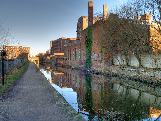
Image: © David Dixon Taken: 20 Jan 2017
Looking north, along the canal towpath at Carruthers Street. Mills and factories used to line both sides of the canal at this point; now only some of those on the eastern side still remain.
Images are licensed for reuse under creativecommons.org/licenses/by-sa/2.0
Image Location
Latitude
53.483291
Longitude
-2.216958