Railway north of West St. Leonards
Introduction
The photograph on this page of Railway north of West St. Leonards by Patrick Roper as part of the Geograph project.
The Geograph project started in 2005 with the aim of publishing, organising and preserving representative images for every square kilometre of Great Britain, Ireland and the Isle of Man.

There are currently over 7.5m images from over 14,400 individuals and you can help contribute to the project by visiting https://www.geograph.org.uk
Railway north of West St. Leonards
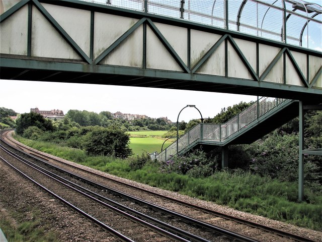
Image: © Patrick Roper Taken: 18 Jul 2009
The footbridge leads from Fernside Avenue to the playing fields and other places east of Filsham Road. The building in the distance on the left of the picture is, I think, the former Hastings College in St. Saviour's Road, but I cannot be sure.
Images are licensed for reuse under creativecommons.org/licenses/by-sa/2.0
Image Location
Latitude
50.859503
Longitude
0.536188