Quedgeley Methodist Church
Introduction
The photograph on this page of Quedgeley Methodist Church by Jaggery as part of the Geograph project.
The Geograph project started in 2005 with the aim of publishing, organising and preserving representative images for every square kilometre of Great Britain, Ireland and the Isle of Man.

There are currently over 7.5m images from over 14,400 individuals and you can help contribute to the project by visiting https://www.geograph.org.uk
Quedgeley Methodist Church
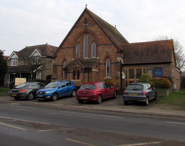
Image: © Jaggery Taken: 22 Jan 2017
Viewed across the B4008 Bristol Road. Quedgeley Methodist Church is part of the Gloucestershire Circuit of the Methodist Church. The church is at the southern edge of Quedgeley, near the Hardwicke boundary.
Images are licensed for reuse under creativecommons.org/licenses/by-sa/2.0
Image Location
Latitude
51.816373
Longitude
-2.28066