Belluton Road
Introduction
The photograph on this page of Belluton Road by Neil Owen as part of the Geograph project.
The Geograph project started in 2005 with the aim of publishing, organising and preserving representative images for every square kilometre of Great Britain, Ireland and the Isle of Man.

There are currently over 7.5m images from over 14,400 individuals and you can help contribute to the project by visiting https://www.geograph.org.uk
Belluton Road
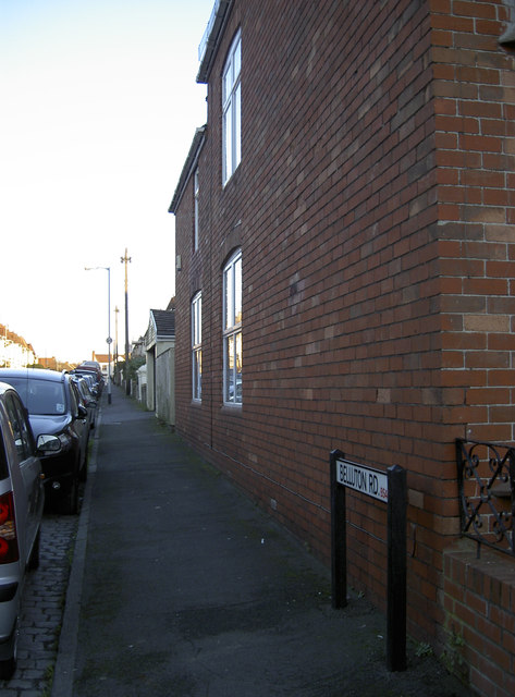
Image: © Neil Owen Taken: 20 Jan 2017
This part of Bristol was slowly developed from the late nineteenth century onwards. It was a piecemeal effort due to the disruption of the Great War, although this road dates from close to the outbreak. See Image] for a benchmark under the street name sign.
Images are licensed for reuse under creativecommons.org/licenses/by-sa/2.0
Image Location
Latitude
51.43704
Longitude
-2.573968