Under the M74
Introduction
The photograph on this page of Under the M74 by Alec MacKinnon as part of the Geograph project.
The Geograph project started in 2005 with the aim of publishing, organising and preserving representative images for every square kilometre of Great Britain, Ireland and the Isle of Man.

There are currently over 7.5m images from over 14,400 individuals and you can help contribute to the project by visiting https://www.geograph.org.uk
Under the M74
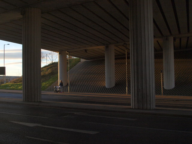
Image: © Alec MacKinnon Taken: 21 Jan 2017
Late on a January afternoon the low Sun illuminates the underside of the carriageway of the M74 where it crosses Polmadie Road.
Images are licensed for reuse under creativecommons.org/licenses/by-sa/2.0
Image Location
Latitude
55.837798
Longitude
-4.240942