B4114 at its junction with Bramcote Barracks
Introduction
The photograph on this page of B4114 at its junction with Bramcote Barracks by Peter Mackenzie as part of the Geograph project.
The Geograph project started in 2005 with the aim of publishing, organising and preserving representative images for every square kilometre of Great Britain, Ireland and the Isle of Man.

There are currently over 7.5m images from over 14,400 individuals and you can help contribute to the project by visiting https://www.geograph.org.uk
B4114 at its junction with Bramcote Barracks
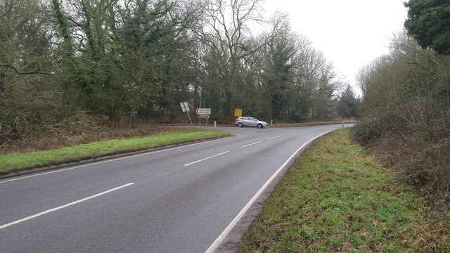
Image: © Peter Mackenzie Taken: 21 Jan 2017
The picture shows the junction of the B4114 with the minor road that leads to the army barracks at Bramcote, east of Nuneaton, Warwickshire.
Images are licensed for reuse under creativecommons.org/licenses/by-sa/2.0
Image Location
Latitude
52.496587
Longitude
-1.402372