Sturminster Newton: the cross and the White Hart
Introduction
The photograph on this page of Sturminster Newton: the cross and the White Hart by Chris Downer as part of the Geograph project.
The Geograph project started in 2005 with the aim of publishing, organising and preserving representative images for every square kilometre of Great Britain, Ireland and the Isle of Man.

There are currently over 7.5m images from over 14,400 individuals and you can help contribute to the project by visiting https://www.geograph.org.uk
Sturminster Newton: the cross and the White Hart
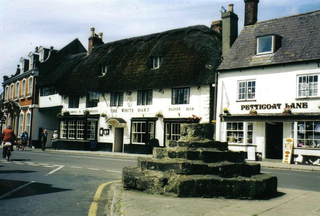
Image: © Chris Downer Taken: Unknown
The remains of the cross in the town, behind which is the thatched White Hart inn. Above the 'WHITE' of 'White Hart' is an old CTC (Cyclists' Touring Club) sign.
Images are licensed for reuse under creativecommons.org/licenses/by-sa/2.0
Image Location
Latitude
50.925504
Longitude
-2.305424