Blatchington Road, Hove
Introduction
The photograph on this page of Blatchington Road, Hove by Simon Carey as part of the Geograph project.
The Geograph project started in 2005 with the aim of publishing, organising and preserving representative images for every square kilometre of Great Britain, Ireland and the Isle of Man.

There are currently over 7.5m images from over 14,400 individuals and you can help contribute to the project by visiting https://www.geograph.org.uk
Blatchington Road, Hove
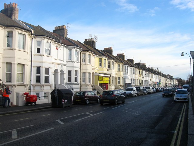
Image: © Simon Carey Taken: 14 Jan 2017
A road that runs east from Sackville Road, the A2023, becoming Eaton Road at the junction with Denmark Villas. These houses were built in the 1860s and remain in the most cases residential despite the southern side being overwhelmingly commercial in nature.
Images are licensed for reuse under creativecommons.org/licenses/by-sa/2.0
Image Location
Latitude
50.831617
Longitude
-0.175827