Hogarth Road, Aldrington, Hove
Introduction
The photograph on this page of Hogarth Road, Aldrington, Hove by Simon Carey as part of the Geograph project.
The Geograph project started in 2005 with the aim of publishing, organising and preserving representative images for every square kilometre of Great Britain, Ireland and the Isle of Man.

There are currently over 7.5m images from over 14,400 individuals and you can help contribute to the project by visiting https://www.geograph.org.uk
Hogarth Road, Aldrington, Hove
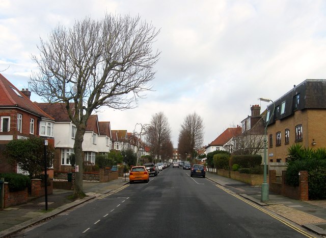
Image: © Simon Carey Taken: 14 Jan 2017
A residential road that links New Church Road, the B2066, and Portland Road. Largely built in the 1930s with the exception of Everest House on the right which was built sometime in the last thirty years on a previously undeveloped plot of land.
Images are licensed for reuse under creativecommons.org/licenses/by-sa/2.0
Image Location
Latitude
50.832645
Longitude
-0.189846