Walkden Street, Mansfield, Notts.
Introduction
The photograph on this page of Walkden Street, Mansfield, Notts. by David Hallam-Jones as part of the Geograph project.
The Geograph project started in 2005 with the aim of publishing, organising and preserving representative images for every square kilometre of Great Britain, Ireland and the Isle of Man.

There are currently over 7.5m images from over 14,400 individuals and you can help contribute to the project by visiting https://www.geograph.org.uk
Walkden Street, Mansfield, Notts.
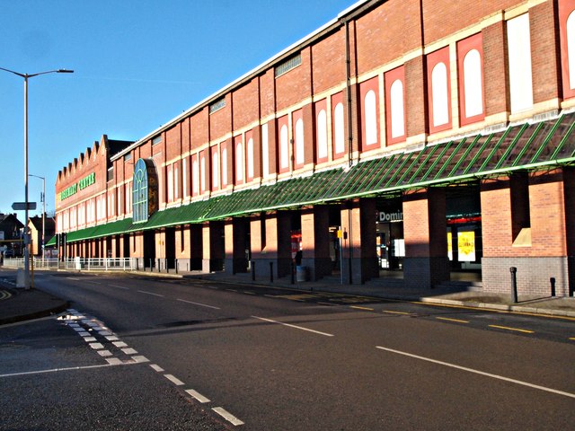
Image: © David Hallam-Jones Taken: 20 Jan 2017
What is now known as the Rosemary Centre (a shopping centre) was constructed as "Lawn Mills" in 1906 by the Cash family. The mill was used to prepare cotton that was then sent on for weaving in the damper atmosphere of Lancashire.
Images are licensed for reuse under creativecommons.org/licenses/by-sa/2.0
Image Location
Latitude
53.144903
Longitude
-1.200998