Greenbank Way
Introduction
The photograph on this page of Greenbank Way by Euchiasmus as part of the Geograph project.
The Geograph project started in 2005 with the aim of publishing, organising and preserving representative images for every square kilometre of Great Britain, Ireland and the Isle of Man.

There are currently over 7.5m images from over 14,400 individuals and you can help contribute to the project by visiting https://www.geograph.org.uk
Greenbank Way
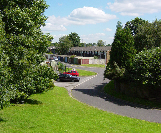
Image: © Euchiasmus Taken: 8 Aug 2007
To the north of these houses, on the left of the photographer, the ground slopes upwards to the M3 motorway. This photograph was taken from partway up the slope. On the left of the road the two cars are parked outside a small nursery school called the "Bright Sparks Montessori School".
Images are licensed for reuse under creativecommons.org/licenses/by-sa/2.0
Image Location


Leaflet Map data © OpenStreetMap
Latitude
51.319
Longitude
-0.747801