Construction work east of Tremeere Manor
Introduction
The photograph on this page of Construction work east of Tremeere Manor by Derek Harper as part of the Geograph project.
The Geograph project started in 2005 with the aim of publishing, organising and preserving representative images for every square kilometre of Great Britain, Ireland and the Isle of Man.

There are currently over 7.5m images from over 14,400 individuals and you can help contribute to the project by visiting https://www.geograph.org.uk
Construction work east of Tremeere Manor
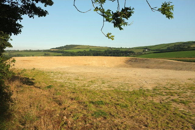
Image: © Derek Harper Taken: 16 Aug 2016
I think this must be the construction of an earth bank slurry lagoon, seen from the same spot as Image], looking left. On the horizon left of centre are Penvivian Downs.
Images are licensed for reuse under creativecommons.org/licenses/by-sa/2.0
Image Location
Latitude
50.444298
Longitude
-4.746371