Junction of Runnymede and Fellside Roads
Introduction
The photograph on this page of Junction of Runnymede and Fellside Roads by Robert Graham as part of the Geograph project.
The Geograph project started in 2005 with the aim of publishing, organising and preserving representative images for every square kilometre of Great Britain, Ireland and the Isle of Man.

There are currently over 7.5m images from over 14,400 individuals and you can help contribute to the project by visiting https://www.geograph.org.uk
Junction of Runnymede and Fellside Roads
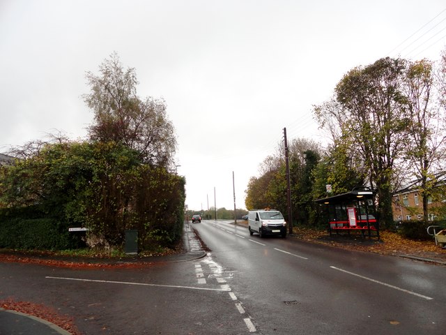
Image: © Robert Graham Taken: 9 Nov 2016
Looking south along Fellside Road. Whickham has extensive modern suburbs to the south of the old village centre.
Images are licensed for reuse under creativecommons.org/licenses/by-sa/2.0
Image Location
Latitude
54.942179
Longitude
-1.686681