Steps which used to lead to the railway station, Bethesda
Introduction
The photograph on this page of Steps which used to lead to the railway station, Bethesda by Meirion as part of the Geograph project.
The Geograph project started in 2005 with the aim of publishing, organising and preserving representative images for every square kilometre of Great Britain, Ireland and the Isle of Man.

There are currently over 7.5m images from over 14,400 individuals and you can help contribute to the project by visiting https://www.geograph.org.uk
Steps which used to lead to the railway station, Bethesda
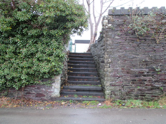
Image: © Meirion Taken: 17 Jan 2017
These steps used to lead to the now demolished railway station in Bethesda, they now lead to the car park of the recently built health centre.
Images are licensed for reuse under creativecommons.org/licenses/by-sa/2.0
Image Location
Latitude
53.180468
Longitude
-4.067982