(Former) Wharncliffe Arms in Carlton
Introduction
The photograph on this page of (Former) Wharncliffe Arms in Carlton by Jonathan Clitheroe as part of the Geograph project.
The Geograph project started in 2005 with the aim of publishing, organising and preserving representative images for every square kilometre of Great Britain, Ireland and the Isle of Man.

There are currently over 7.5m images from over 14,400 individuals and you can help contribute to the project by visiting https://www.geograph.org.uk
(Former) Wharncliffe Arms in Carlton
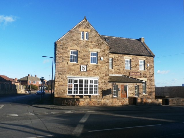
Image: © Jonathan Clitheroe Taken: 14 Jan 2017
This public house which was converted into a private dwelling in 2016 although an original sign and crest survive. The latter represents the Earl of Wharncliffe who owned the local coal mines.
Images are licensed for reuse under creativecommons.org/licenses/by-sa/2.0
Image Location
Latitude
53.585214
Longitude
-1.446044