Hartlebury Common
Introduction
The photograph on this page of Hartlebury Common by Ian Capper as part of the Geograph project.
The Geograph project started in 2005 with the aim of publishing, organising and preserving representative images for every square kilometre of Great Britain, Ireland and the Isle of Man.

There are currently over 7.5m images from over 14,400 individuals and you can help contribute to the project by visiting https://www.geograph.org.uk
Hartlebury Common
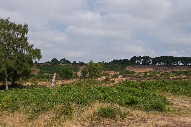
Image: © Ian Capper Taken: 21 Jul 2013
Area of heathland south of Stourport-on-Seven, the largest such site remaining in Worcestershire.
Images are licensed for reuse under creativecommons.org/licenses/by-sa/2.0
Image Location
Latitude
52.333772
Longitude
-2.265744