Granary Cottage, Black Hedley
Introduction
The photograph on this page of Granary Cottage, Black Hedley by Robert Graham as part of the Geograph project.
The Geograph project started in 2005 with the aim of publishing, organising and preserving representative images for every square kilometre of Great Britain, Ireland and the Isle of Man.

There are currently over 7.5m images from over 14,400 individuals and you can help contribute to the project by visiting https://www.geograph.org.uk
Granary Cottage, Black Hedley
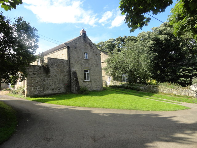
Image: © Robert Graham Taken: 30 Aug 2016
This originally formed part of the courtyard layout of farm buildings here. Built in the C18 and early C19. This building on the end was converted to residential. The entrance to the farmyard is on the left through the archway in the wall.
Images are licensed for reuse under creativecommons.org/licenses/by-sa/2.0
Image Location
Latitude
54.862306
Longitude
-1.916622