The Priory, St Catherine's Terrace, Hove
Introduction
The photograph on this page of The Priory, St Catherine's Terrace, Hove by Simon Carey as part of the Geograph project.
The Geograph project started in 2005 with the aim of publishing, organising and preserving representative images for every square kilometre of Great Britain, Ireland and the Isle of Man.

There are currently over 7.5m images from over 14,400 individuals and you can help contribute to the project by visiting https://www.geograph.org.uk
The Priory, St Catherine's Terrace, Hove
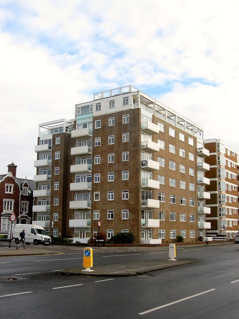
Image: © Simon Carey Taken: 14 Jan 2017
Located on the corner of Medina Villas and built in the early 1960s on the site of a former house that was also known locally as The Priory that had been built in 1864, see http://regencysociety-jamesgray.com/volume12/source/jg_12_027.html for a view from 1958 taken prior to demolition.
Images are licensed for reuse under creativecommons.org/licenses/by-sa/2.0
Image Location
Latitude
50.825117
Longitude
-0.174234