Library bus stop and shelter, Abercarn
Introduction
The photograph on this page of Library bus stop and shelter, Abercarn by Jaggery as part of the Geograph project.
The Geograph project started in 2005 with the aim of publishing, organising and preserving representative images for every square kilometre of Great Britain, Ireland and the Isle of Man.

There are currently over 7.5m images from over 14,400 individuals and you can help contribute to the project by visiting https://www.geograph.org.uk
Library bus stop and shelter, Abercarn
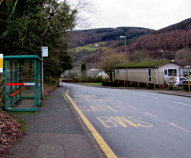
Image: © Jaggery Taken: 14 Jan 2017
Alongside the B4591 High Street, a few metres from Abercarn Library. http://www.geograph.org.uk/photo/5253537 In January 2017, the bus stop sign shows service 151 to Newport and X16 to Cardiff.
Images are licensed for reuse under creativecommons.org/licenses/by-sa/2.0
Image Location
Latitude
51.646505
Longitude
-3.134927