Toll Gate Road
Introduction
The photograph on this page of Toll Gate Road by Ian Capper as part of the Geograph project.
The Geograph project started in 2005 with the aim of publishing, organising and preserving representative images for every square kilometre of Great Britain, Ireland and the Isle of Man.

There are currently over 7.5m images from over 14,400 individuals and you can help contribute to the project by visiting https://www.geograph.org.uk
Toll Gate Road
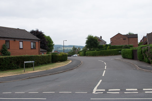
Image: © Ian Capper Taken: 21 Jul 2013
Cul de sac off Parys Road, part of a late 1980s development of this part of Ludlow.
Images are licensed for reuse under creativecommons.org/licenses/by-sa/2.0
Image Location
Latitude
52.366177
Longitude
-2.697115