Sheet Road
Introduction
The photograph on this page of Sheet Road by Ian Capper as part of the Geograph project.
The Geograph project started in 2005 with the aim of publishing, organising and preserving representative images for every square kilometre of Great Britain, Ireland and the Isle of Man.

There are currently over 7.5m images from over 14,400 individuals and you can help contribute to the project by visiting https://www.geograph.org.uk
Sheet Road
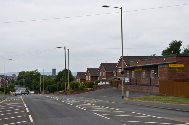
Image: © Ian Capper Taken: 21 Jul 2013
1970s houses on what was historically the lane connecting Ludlow with Sheet and Caynham. In the background is the tower of St Laurence's Church.
Images are licensed for reuse under creativecommons.org/licenses/by-sa/2.0
Image Location
Latitude
52.365107
Longitude
-2.698508