Turf Street, Bodmin
Introduction
The photograph on this page of Turf Street, Bodmin by Derek Harper as part of the Geograph project.
The Geograph project started in 2005 with the aim of publishing, organising and preserving representative images for every square kilometre of Great Britain, Ireland and the Isle of Man.

There are currently over 7.5m images from over 14,400 individuals and you can help contribute to the project by visiting https://www.geograph.org.uk
Turf Street, Bodmin
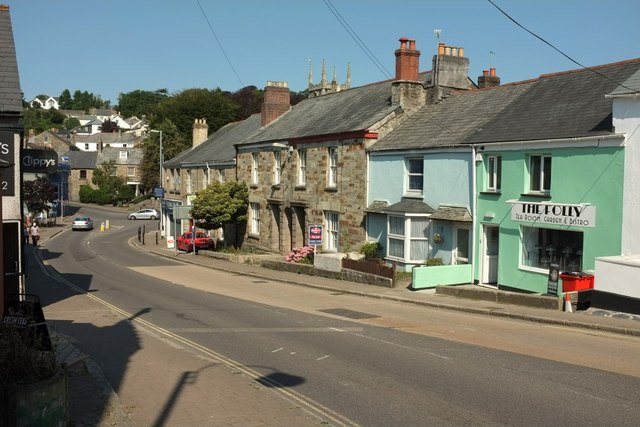
Image: © Derek Harper Taken: 16 Aug 2016
This is the B3268 on the east side of the town centre. You can just see the pinnacles of the church tower above a roof.
Images are licensed for reuse under creativecommons.org/licenses/by-sa/2.0
Image Location
Latitude
50.47078
Longitude
-4.718027