A273 Clayton Hill, near Pyecombe
Introduction
The photograph on this page of A273 Clayton Hill, near Pyecombe by Malc McDonald as part of the Geograph project.
The Geograph project started in 2005 with the aim of publishing, organising and preserving representative images for every square kilometre of Great Britain, Ireland and the Isle of Man.

There are currently over 7.5m images from over 14,400 individuals and you can help contribute to the project by visiting https://www.geograph.org.uk
A273 Clayton Hill, near Pyecombe
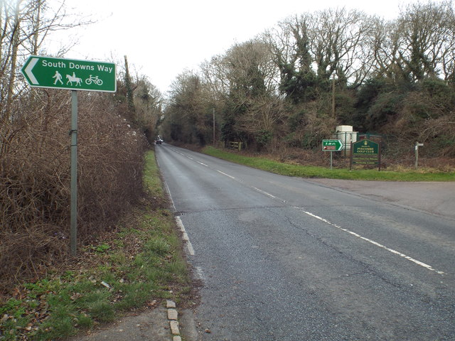
Image: © Malc McDonald Taken: 8 Jan 2017
The A273 road, at the point where it is crossed by the South Downs Way. The signpost indicates that the South Downs Way can be used by people walking, cycling or on horseback.
Images are licensed for reuse under creativecommons.org/licenses/by-sa/2.0
Image Location
Latitude
50.900991
Longitude
-0.160886