The Garland Ox, Bodmin
Introduction
The photograph on this page of The Garland Ox, Bodmin by Derek Harper as part of the Geograph project.
The Geograph project started in 2005 with the aim of publishing, organising and preserving representative images for every square kilometre of Great Britain, Ireland and the Isle of Man.

There are currently over 7.5m images from over 14,400 individuals and you can help contribute to the project by visiting https://www.geograph.org.uk
The Garland Ox, Bodmin
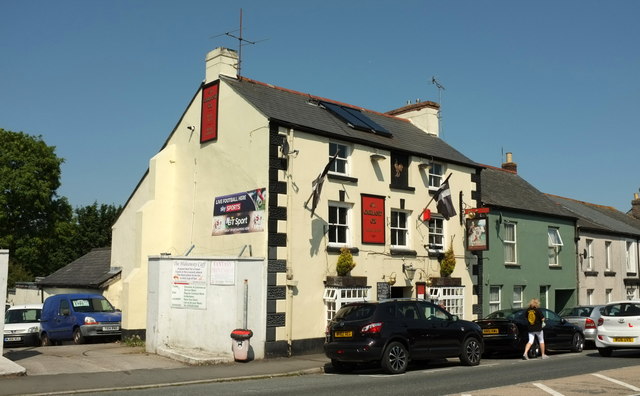
Image: © Derek Harper Taken: 16 Aug 2016
On Higher Bore Street, the A389. The figure by the car is wearing a pub top.
Images are licensed for reuse under creativecommons.org/licenses/by-sa/2.0
Image Location
Latitude
50.471324
Longitude
-4.729334