Neighbourhood Office, #42 Verrier Road at Victoria Avenue junction
Introduction
The photograph on this page of Neighbourhood Office, #42 Verrier Road at Victoria Avenue junction by Roger Templeman as part of the Geograph project.
The Geograph project started in 2005 with the aim of publishing, organising and preserving representative images for every square kilometre of Great Britain, Ireland and the Isle of Man.

There are currently over 7.5m images from over 14,400 individuals and you can help contribute to the project by visiting https://www.geograph.org.uk
Neighbourhood Office, #42 Verrier Road at Victoria Avenue junction
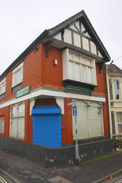
Image: © Roger Templeman Taken: 29 Oct 2016
There is an OS benchmark Image on the left hand face of the building near its junction with the boundary wall. The building is owned by Bristol City Council and houses the Mental Health Team Neighbourhood Office.
Images are licensed for reuse under creativecommons.org/licenses/by-sa/2.0
Image Location
Latitude
51.457443
Longitude
-2.556953